The Open Geospatial Consortium (OGC), in partnership with the U.S. Federal Geographic Data Committee (FGDC) and our members, is spearheading an ambitious effort to envision the future of Spatial Data Infrastructure (SDI)—the systems that underpin how location-based data is collected, shared, and used. The initiative, showcased through the newly launched SDI Modernization Gateway, highlights how members of the OGC Community envision—and indeed, are already building—the SDI of the future.
For the OGC, this effort embodies our core values of collaboration and interoperability, ensuring that the next generation of SDI is built not just for today’s challenges, but also for tomorrow’s opportunities across communities, industries, and nations.
A Decade of Ambition
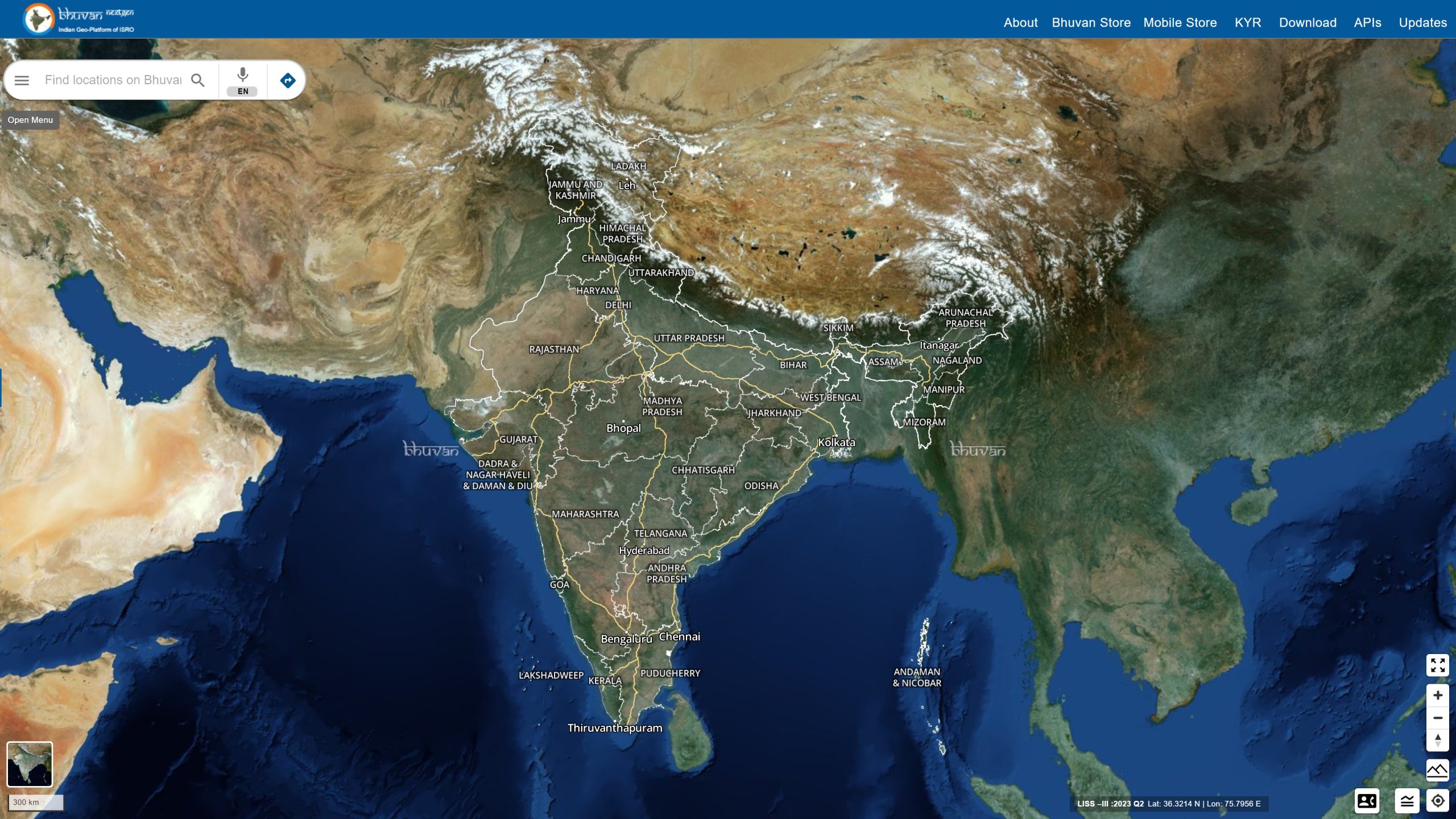
The SDI Modernization Project aligns with a U.S. national 10-year spatial data strategy, drawing on public and private expertise to deliver more responsive, integrated, and interoperable geospatial services—and led by the FGDC. This strategy is anchored in delivering improved geospatial datasets, integrated applications, and timely services that are highly responsive, dependable, and interoperable, and is informed by the United Nations’ Integrated Geospatial Information Framework (UN-IGIF), a globally endorsed model for national geospatial governance.
This effort builds on earlier work, including Canada’s Concept Development Study on cumulative effects, and reflects a growing consensus: Existing SDIs, often siloed and underutilized, must evolve into dynamic knowledge infrastructures.
Why SDI Needs a Rethink
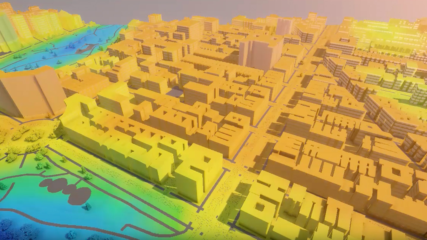
Despite the proliferation of geospatial data, many SDIs remain little more than digital filing cabinets—repositories of downloadable datasets and static maps. Their original promise as engines of insight and coordination has been diluted by fragmented governance and outdated technology.
Modernization demands more than technical upgrades. It requires cross-sector collaboration, the integration of emerging technologies, efficient data stewardship, and timely delivery of actionable information
The goal is a geospatial ecosystem that is not only national in scope but globally connected—capable of informing decisions across terrestrial, maritime, and even space domains.
Three Pillars of Reform
The SDI Modernization Project is advancing this goal through three central focus areas, each designed to amplify the effectiveness of geospatial data across sectors:
- Governance – Effective oversight, inclusive participation, and sustainable funding are essential. Legal and policy frameworks must evolve to support data sharing and accountability.
- Data & Technology – Infrastructure must be upgraded to improve data quality, accessibility, and interoperability. Artificial intelligence and machine learning offer new possibilities, but standards—national and international—remain critical.
- People – A skilled workforce is the linchpin. Building capacity across disciplines, fostering partnerships, and promoting geospatial literacy will be key to unlocking SDI’s full potential.
The Economic Case
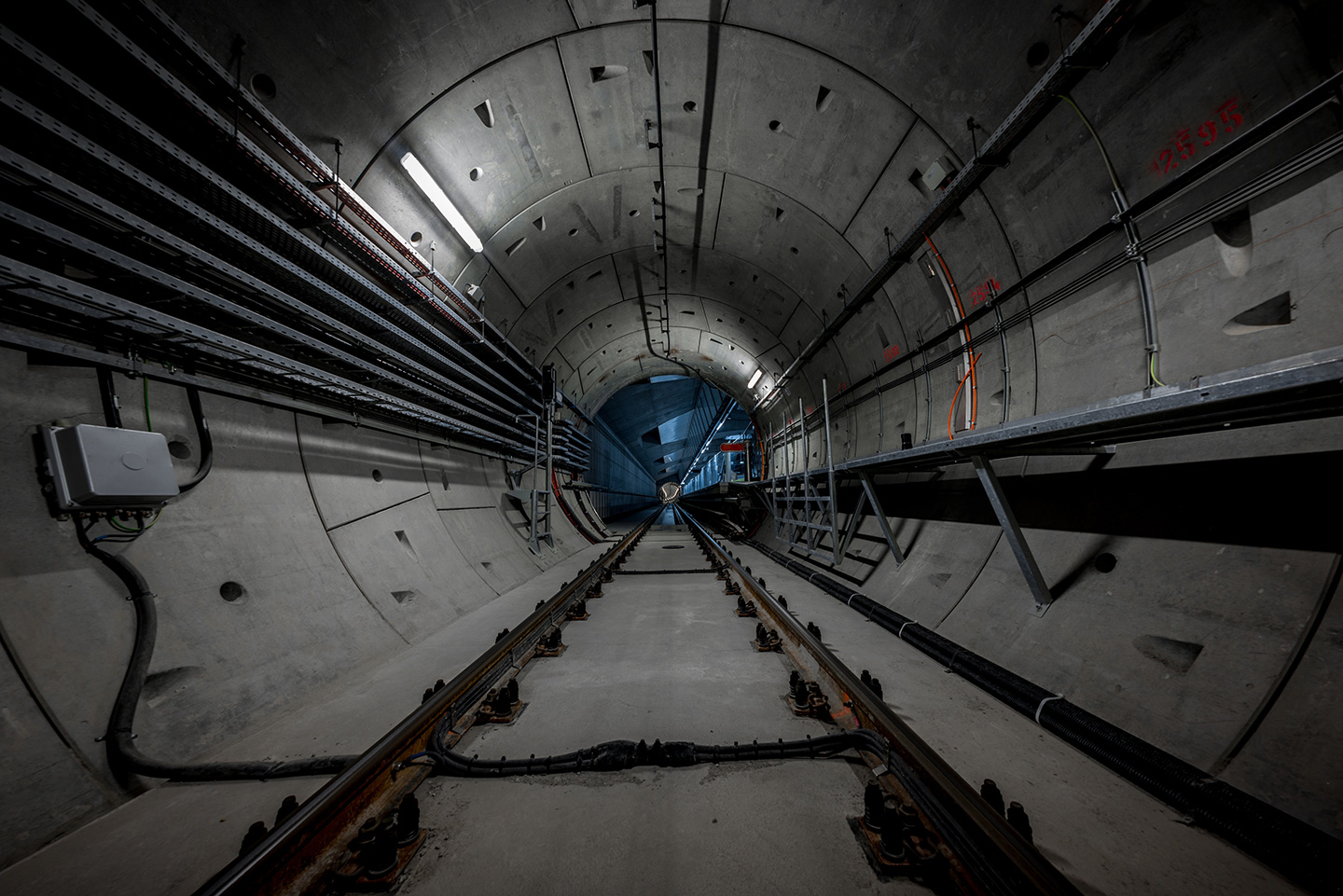
The economic rationale is compelling. In the United States alone, more than 150 federal datasets are publicly available, supporting a geospatial market valued at $$133 billion as of 2023. The U.S. Geological Survey’s 3D Elevation Program (3DEP) generates an estimated $7.9 billion in annual benefits, underscoring the tangible value of high-quality spatial data.
As industries from AI to logistics increasingly rely on geospatial intelligence, the modernization of SDI becomes not just a technical necessity but a driver of innovation and growth.
A Call to Action
The OGC and FGDC view SDI modernization as a matter of strategic security and public infrastructure. Success will depend on shared governance, technological innovation, and investment in human capital.
We invite all members of the geospatial community—governmental bodies, private-sector contributors, academic institutions, and civic organizations—to get involved, collaborate, and help shape a future-ready SDI. Start by visiting the SDI Modernization Gateway, which will continue to evolve as a community-driven resource—one where you can contribute your thoughts and ideas, hope and visions for SDI. Stay tuned, as we will continue to update contributions in the coming weeks and months.
Let’s design and build Spatial Data Infrastructure together, becoming the architects of an international SDI that rests squarely on the foundation of shared geospatial knowledge and empowers people everywhere for generations to come.