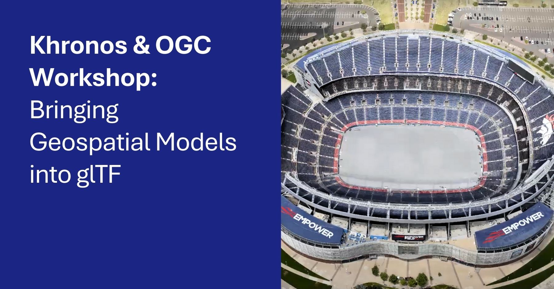
The Khronos Group (Khronos) and the Open Geospatial Consortium (OGC) are holding a joint workshop to explore how geospatial models developed by OGC can be encoded in a Khronos glTF-based environment—enhancing interoperability with widely adopted computer graphics standards.
Why it matters: Geospatial and computer graphics communities are increasingly converging in areas like digital twins, smart cities, AR/VR, and simulation. Aligning OGC’s rich geospatial models with glTF—the most widely used 3D asset format—will make it easier to share, visualize, and use complex location-based data across platforms and industries. The result: faster workflows, better interoperability, and new opportunities for innovation.
The workshop will be held in two sessions:
- Asia–Western North America: 2300 UTC 17 September (1600 Pacific 17 September; 0800 Japan 18 September)
- Europe–Eastern North America: 1500 UTC 18 September (1700 CEST; 1100 Eastern)
OGC data models for digital twins, such as CityGML, IndoorGML, and the Model for Underground Data Definition and Integration (MUDDI), are generally encoded using XML and/or JSON. However, rich geospatial content can also be encoded using glTF, as demonstrated by the OGC 3D Tiles Community Standard.
The sessions will explore:
- What changes, if any, are needed in OGC models to fully leverage glTF.
- What extensions could be made to glTF to support these models.
- A roadmap for future Khronos–OGC collaboration to bring more data to users.
The workshop will be held via Zoom:
URL: https://khronosgroup.zoom.us/my/khrzoom
Room: 659-400-3378